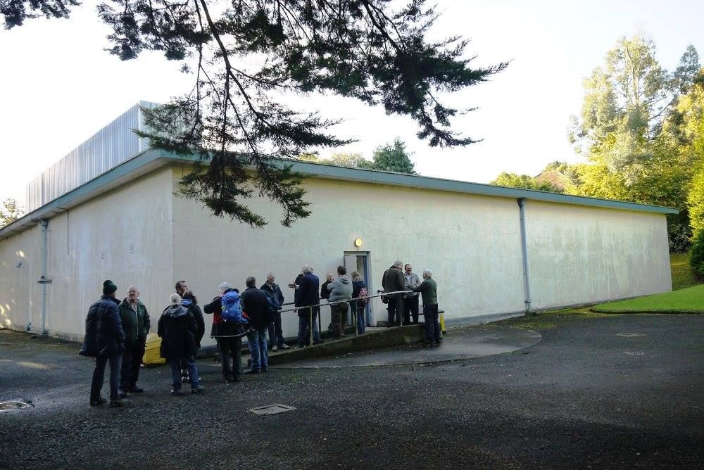
Situated in a peaceful community along Malone Road in south Belfast, the structure is called the Northern Ireland Regional War Room.
Designed to hold 45 people, including the emergency services leaders, it was one of 13 buildings constructed throughout the United Kingdom in 1952 to coordinate civil defence in the event of a nuclear attack during the height of the Cold War.
It was never necessary, though, and it is now anticipated that the sturdy walls and secure setting will make it a secure location to house the Historic Environment Record of Northern Ireland (HERoNI).
Databases, written documents, maps, photographs, drawings, and digital content encompassing all facets of heritage, including archaeological sites, will be among them, battlefield locations, historic structures, industrial heritage, and defence heritage.
The 4,500 defensive locations in HERoNI that have been mapped in a recent survey exercise include the B1 designated war rooms themselves.
In the case of a nuclear strike, the centre of action for organising the civil response would have been the high-ceilinged map room behind the heavy doors, which is overlooked by big internal windows.
It is a very important defence historic monument, according to Naoimh Quinn of the Department for Communities' Historic Environment Division (HED).
“Our historic environment record, which will include photographic and paper materials, is something we intend to preserve.”
“We have been keeping an eye on the building's upkeep, and its sturdy walls offer the archive a highly stable atmosphere.”
"We hope to be able to move forward with a program of reuse for this asset in the coming year, giving it a new future for the next generation and housing our priceless record."


